COLLECTION NAME:
Japanese Historical Maps
mediaCollectionId
RUMSEY~9~1
Japanese Historical Maps
Collection
true
Author:
Utagawa, Sadahide, 1807-1873
author
Utagawa, Sadahide, 1807-1873
Author
false
Date:
1856
date
1856
Date
false
Short Title:
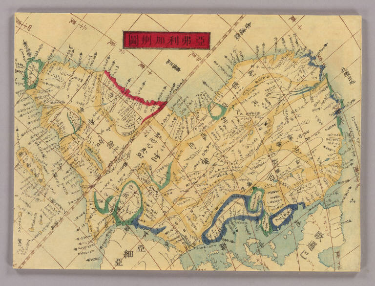
Africa.
short_title
Africa.
Short Title
false
Publisher:
[S.l.] : Copyright by Kondo-shi
publisher
[S.l.] : Copyright by Kondo-shi
Publisher
false
Type:
Atlas Map
type
Atlas Map
Type
false
Scale 1:
None shown
scale_1
None shown
Scale 1
false
Note:
Wood block print. In Japanese. Oriented with north toward lower right. East Asian Library call number: A15.
note
Wood block print. In Japanese. Oriented with north toward lower right. East Asian Library call number: A15.
Note
false
World Area:
Africa
world_area
Africa
World Area
false
Full Title:
[Africa. Between 1856 and 1868]
full_title
[Africa. Between 1856 and 1868]
Full Title
false
List No:
A15_09
list_no
A15_09
List No
false
Series No:
10
series_no
10
Series No
false
Publication Author:
Utagawa, Sadahide, 1807-1873
publication_author
Utagawa, Sadahide, 1807-1873
Publication Author
false
Pub Date:
1856
pub_date
1856
Pub Date
false
Pub Title:
Bankoku chikyu bunzu : zen / Hashimoto Gyokuran. [between 1856 and 1868]
pub_title
Bankoku chikyu bunzu : zen / Hashimoto Gyokuran. [between 1856 and 1868]
Pub Title
false
Pub Note:
Wood block print. In Japanese. Title on map: Bankoku yochi bunzu. Includes texts on the earth, longitudes and latitudes and the history of explorations. 10 col. maps.
pub_note
Wood block print. In Japanese. Title on map: Bankoku yochi bunzu. Includes texts on the earth, longitudes and latitudes and the history of explorations. 10 col. maps.
Pub Note
false
Pub List No:
A15
pub_list_no
A15
Pub List No
false
Pub Type:
World Atlas
pub_type
World Atlas
Pub Type
false
Pub Maps:
10
pub_maps
10
Pub Maps
false
Pub Height cm:
19
pub_height_cm
19
Pub Height cm
false
Image No:
A15_09
image_no
A15_09
Image No
false
Institution:
Japanese Historical Maps
institution
Japanese Historical Maps
Institution
false