COLLECTION NAME:
Japanese Historical Maps
mediaCollectionId
RUMSEY~9~1
Japanese Historical Maps
Collection
true
Author:
Kataoka, Kenzō
author
Kataoka, Kenzō
Author
false
Date:
1900
date
1900
Date
false
Short Title:
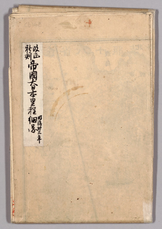
Covers: Kaisei shinkoku Teikoku Dai Nihon ritei saizu.
short_title
Covers: Kaisei shinkoku Teikoku Dai Nihon ritei saizu.
Short Title
false
Publisher:
Kyoto: Fūgetsu Shōzaemon
publisher
Kyoto: Fūgetsu Shōzaemon
Publisher
false
Type:
Covers
type
Covers
Type
false
Obj Height cm:
19
obj_height_cm
19
Obj Height cm
false
Obj Width cm:
13
obj_width_cm
13
Obj Width cm
false
Scale 1:
No scale given.
scale_1
No scale given.
Scale 1
false
Note:
Not actually a cover, just a white label with black text on the back of the folded map.
note
Not actually a cover, just a white label with black text on the back of the folded map.
Note
false
Country:
Japan
country
Japan
Country
false
Subject:
Roads
subject
Roads
Subject
false
Full Title:
(Covers to) Kaisei shinkoku Teikoku Dai Nihon ritei saizu.
full_title
(Covers to) Kaisei shinkoku Teikoku Dai Nihon ritei saizu.
Full Title
false
List No:
Cb148_a
list_no
Cb148_a
List No
false
Series No:
1
series_no
1
Series No
false
Publication Author:
Kataoka, Kenzō
publication_author
Kataoka, Kenzō
Publication Author
false
Pub Date:
1900
pub_date
1900
Pub Date
false
Pub Title:
Kaisei shinkoku Teikoku Dai Nihon ritei saizu.
pub_title
Kaisei shinkoku Teikoku Dai Nihon ritei saizu.
Pub Title
false
Pub Note:
Japanese date Meiji 33 [1900]. In color. Folded. Lithograph. In Japanese. Oriented with north to the upper right. Relief shown by hachures. Includes 5 insets: Hokkaidō zenzu.--Nihon shinryōchi Taiwan zenzu.--Chōsen zenzu ... [et al.] Includes list of district names, distance chart, and legend. Includes charts of mountains, rivers and lakes. Includes distances of roads and sea routes.
pub_note
Japanese date Meiji 33 [1900]. In color. Folded. Lithograph. In Japanese. Oriented with north to the upper right. Relief shown by hachures. Includes 5 insets: Hokkaidō zenzu.--Nihon shinryōchi Taiwan zenzu.--Chōsen zenzu ... [et al.] Includes list of district names, distance chart, and legend. Includes charts of mountains, rivers and lakes. Includes distances of roads and sea routes.
Pub Note
false
Pub List No:
Cb148
pub_list_no
Cb148
Pub List No
false
Pub Type:
Case Map
pub_type
Case Map
Pub Type
false
Pub Maps:
1
pub_maps
1
Pub Maps
false
Pub Height cm:
19
pub_height_cm
19
Pub Height cm
false
Pub Width cm:
13
pub_width_cm
13
Pub Width cm
false
Image No:
Cb148_a
image_no
Cb148_a
Image No
false